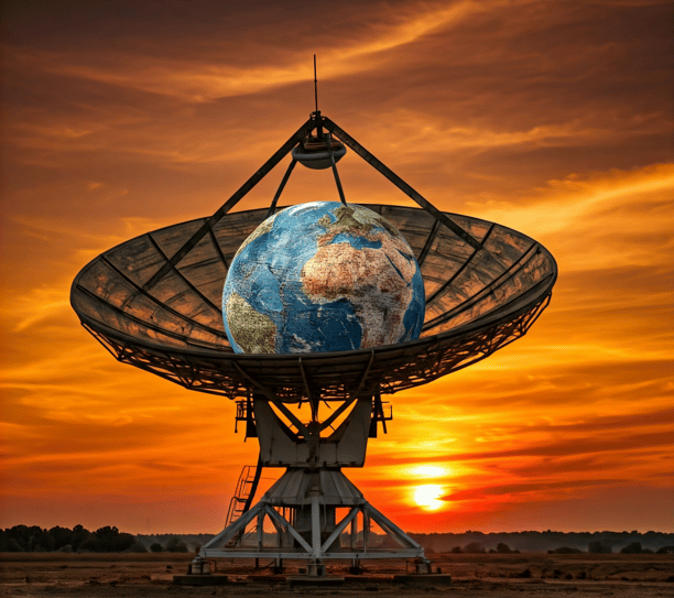
Smart Satellite Image Solutions for a Smarter Future

We deliver high-quality satellite imagery combined with smart, actionable insights to empower our clients. Our innovative solutions optimize operations, enhance decision-making, and help achieve goals with precision and efficiency. By leveraging advanced technology and smart strategies, we enable businesses to stay ahead of the curve, driving sustainable success and smarter outcomes across industries.⁹

Image processing and Photogrammetry products that harnesses the power of high-resolution satellite imagery to create precise 3D models and measurements of the Earth's surface.

Our cutting-edge solutions support applications in urban planning, infrastructure development, environmental monitoring, and more, delivering the clarity and detail you need for impactful decisions

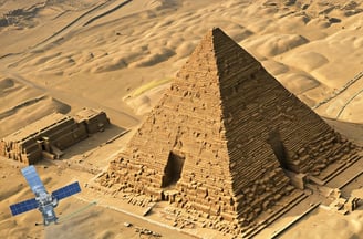
Provide precise satellite images with stunning high resolution up to 30cm. Perfect for monitoring, analysis, and decision-making with unmatched clarity and accuracy. images with high resolution up to 30cm

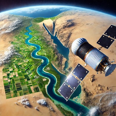
  • Our satellite imagery provides an unmatched view of events on the ground and at sea, delivering the resolution, frequency, spectral bands, accuracy, and historical archive needed to drive innovation and solve complex challenges. With our cutting-edge technology, you gain the insights required to monitor, analyze, and address critical issues across a variety of domains with precision and reliability.

Expert Satellite Images Marketing

Transforming satellite imagery into actionable insights for your business success and growth.

Targeted Marketing Solutions
A vibrant satellite image displaying intricate patterns of rivers and water bodies across a landscape dominated by green and red hues. The intricate network of blue streams is interspersed with red-tipped ridges, set against a predominantly green and yellow terrain.

Customized strategies to enhance visibility and engagement through satellite image marketing.

Data-Driven Insights

Utilizing advanced analytics to provide valuable insights from satellite images for informed decisions.

Our most accurate representation of Earth. A 50 cm resolution 3D TIN model with real textures and an absolute accuracy of 3 m in all dimensions

3D Surface Mode

Our Projects

Explore our successful marketing projects in satellite imagery services.

In the foreground, a city skyline consisting of buildings with satellite dishes and some tall structures is seen. In the distance, the image features the iconic pyramids emerging through the urban landscape under a slightly hazy, possibly smoggy sky. The scene has a monochrome, almost sepia tone.
Satellite Analysis

Transforming satellite data into actionable marketing insights for clients.

A satellite image of a mountain surrounded by lush green vegetation. The mountain features a clearly defined crater and is situated near a coastline with dark blue waters. The topography of the landscape shows various textures, indicating different land uses or types of vegetation.
Image Processing

Expertly enhancing satellite images for clearer visual communication.

A satellite image capturing a volcanic landscape with vivid colors. The center features a dark, rugged volcanic peak surrounded by bright orange and red streaks resembling lava flows or mineral deposits. The surrounding area includes soft pastel shades of blue and pink, creating a surreal and abstract appearance.
An aerial satellite view of a large desert landscape characterized by vast expanses of reddish-brown terrain. Sparse areas of green vegetation are scattered throughout, with a bright blue body of water located at the top of the image. The terrain exhibits various shades of earthy colors with visible patterns of natural formations.
Market Research

In-depth analysis of market trends using satellite imagery data.

Client Collaboration

Working closely with clients to achieve exceptional results together.