we use the power of very high-resolution satellite imagery and AI-powered software platforms to deliver ground truth in near real-time
Our services
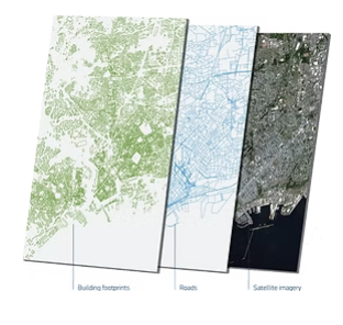

3D GEOGRAPHIC INFORMATION SYSTEMS (GIS)

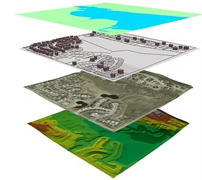
We offer Smart Geospatial Solutions for Modern Organizations, as GIS become an essential resource for organizations, ensuring efficient data flow remains a critical challenge. At Smart tech, our team of GIS experts, photogrammetric mappers, surveyors, and geospatial data specialists leverage smart technologies to help you develop, manage, and optimize your geospatial assets.
We streamline your workflows, enabling you to unlock the full potential of your GIS investments. Our comprehensive services include GIS Planning, Data Acquisition, Database Development, GIS Implementation, and ongoing GIS Support Services. Smart tech delivers tailored GIS solutions to meet the geospatial data management needs of different industries, we empower you to achieve efficiency, precision, and success.
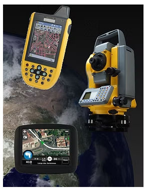
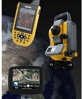
3D Ground Control Point (GCPs)
Smart tech provides its services for projects that require accurate field surveys using GPS and total stations. We have worked with many mining and engineering companies both in Egypt and in the region. We can collaborate on projects offering our equipment and expertise, or similarly our teams can carry out the surveys and fieldwork as required by the customers.
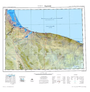
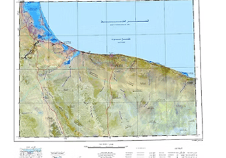
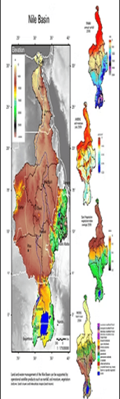
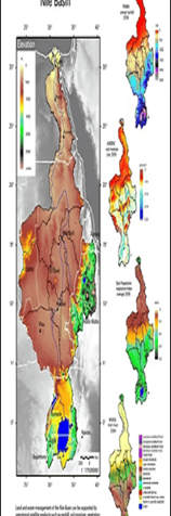
Professional Mapping
Smart tech provides highly accurate mapping products to a wide range of government and non-government agencies. These products are used for resource and infrastructure planning, and to produce or update local, regional, and national base maps and related geographic information.
Types of maps: Topographic Maps, Land Use/Land Cover (LULC) Maps, Cadastral Maps, Physical Maps, Thematic Maps, Road Maps, Political Maps, and Nautical charts


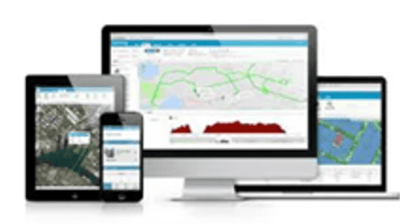
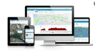
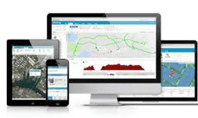
Software Solutions
Smart Tech is a leader in providing complete and integrated software solutions that features tools for remote sensing, GIS, digital photogrammetry, image processing, geospatial analysis, map production and more.
Our software solutions enable users to apply geographic information in support of a wide range of applications such as the environment, agriculture, hydrology, geology, urban planning, education, disaster management, security and intelligence, defense, as well as in the oil and gas industries.

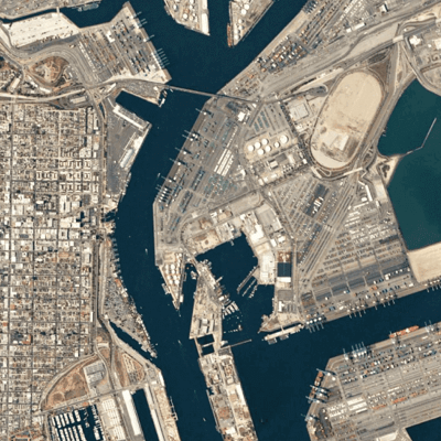
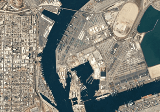
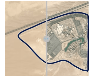
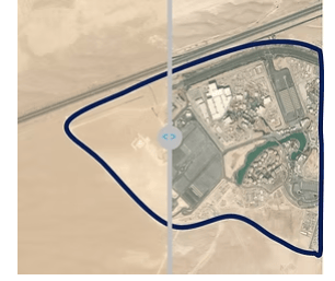
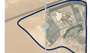
Detecting Changes From Space
Knowing when and where change occurs in a region can be difficult and time-consuming.
The Change Detection Service allows users to task an area of interest, and automatically detect relevant infrastructure changes, including roads, houses, earthworks and buildings.


Expertise
Delivering exceptional results in satellite imagery marketing.
Contact Us
Looking for more information?
+20 10 979 555 6
© Smart Tech for smart solutions 2025. All rights reserved.